
Engineering-grade surveys based on high-resolution aerial imagery — so design begins from real data rather than estimates.
Errors of a few centimetres can cause design problems, mismatches on site, reduced output and sometimes delays in permitting.
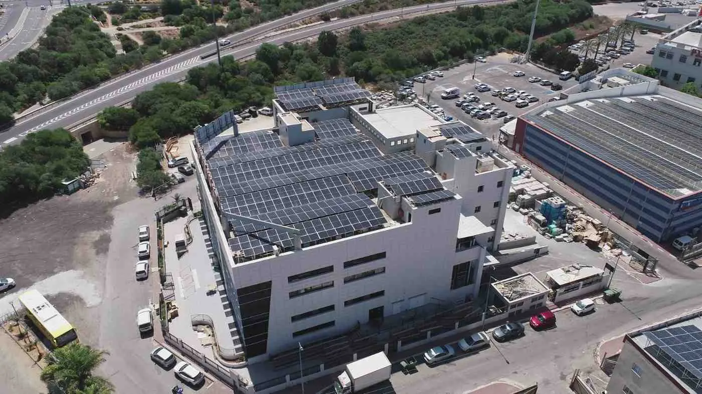
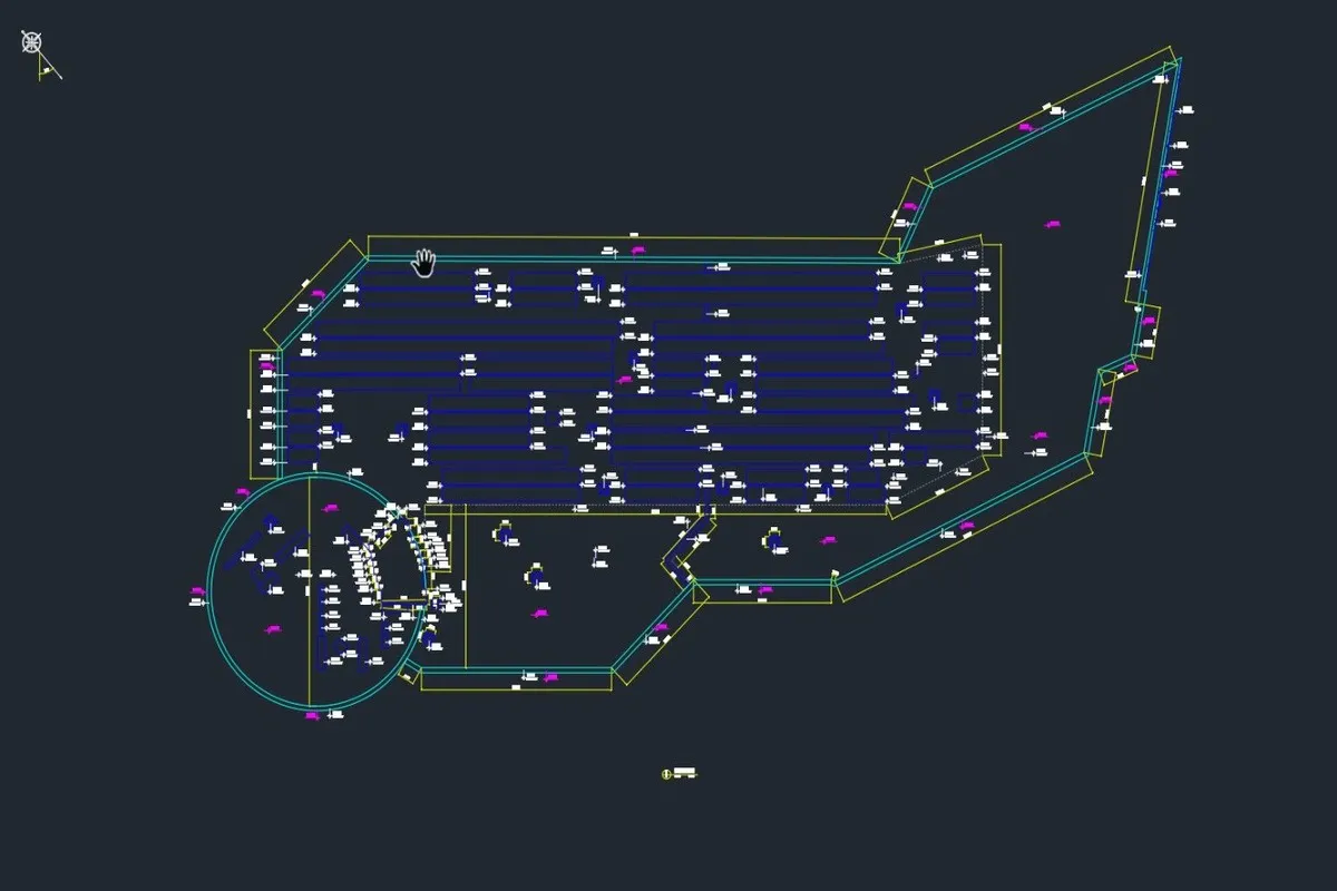
Using dedicated drones, advanced imaging and leading photogrammetry software, we produce accurate 3D models, sharp orthophoto maps and complete site data — suitable for engineering design, panel layout and coordination with authorities and installers.
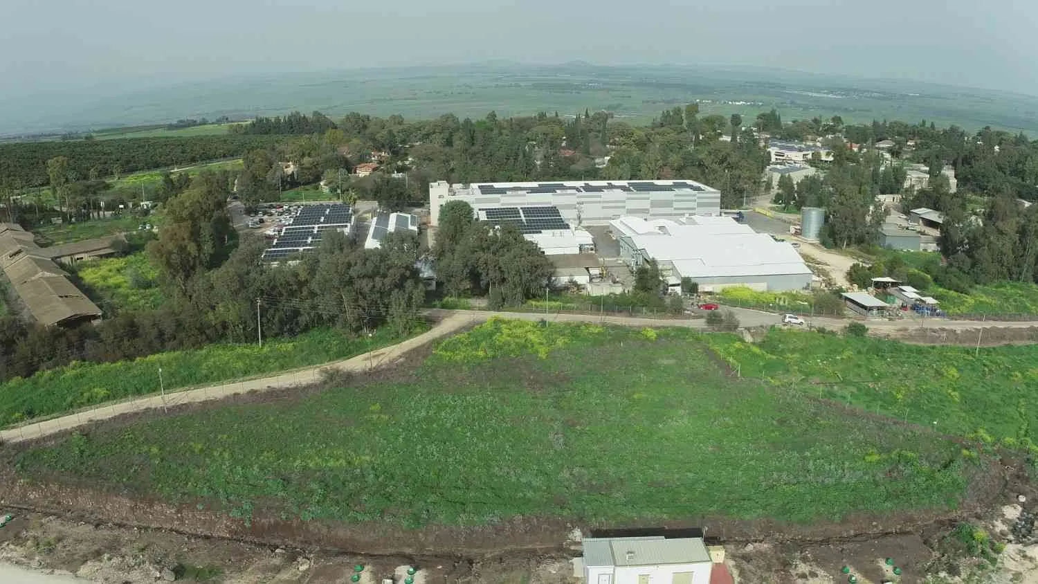
Defined in advance — no “we’ll see later” and no surprises.
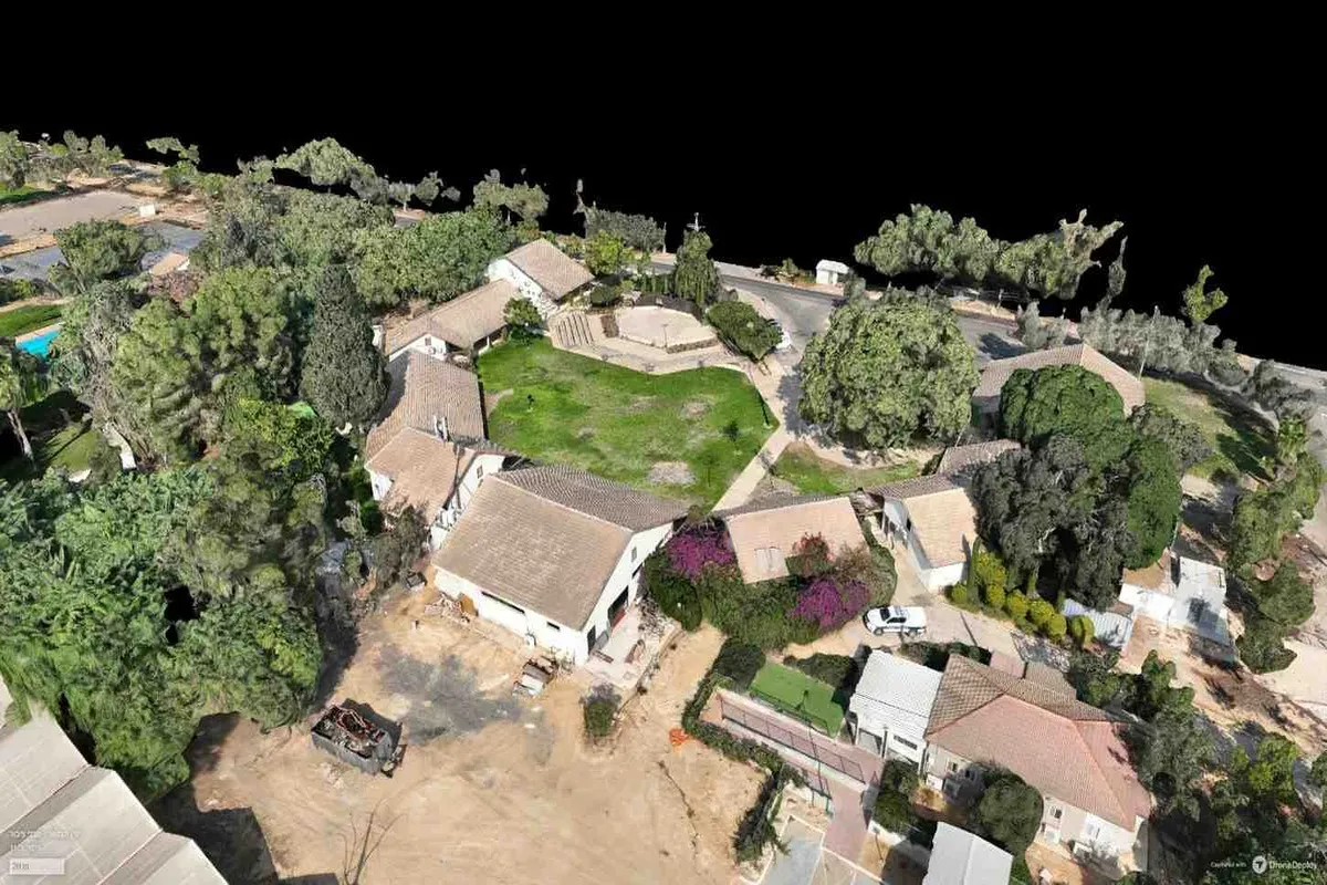
Including terrain, contours, slopes, elevations and surface detail — at a level of detail suitable for engineering design.
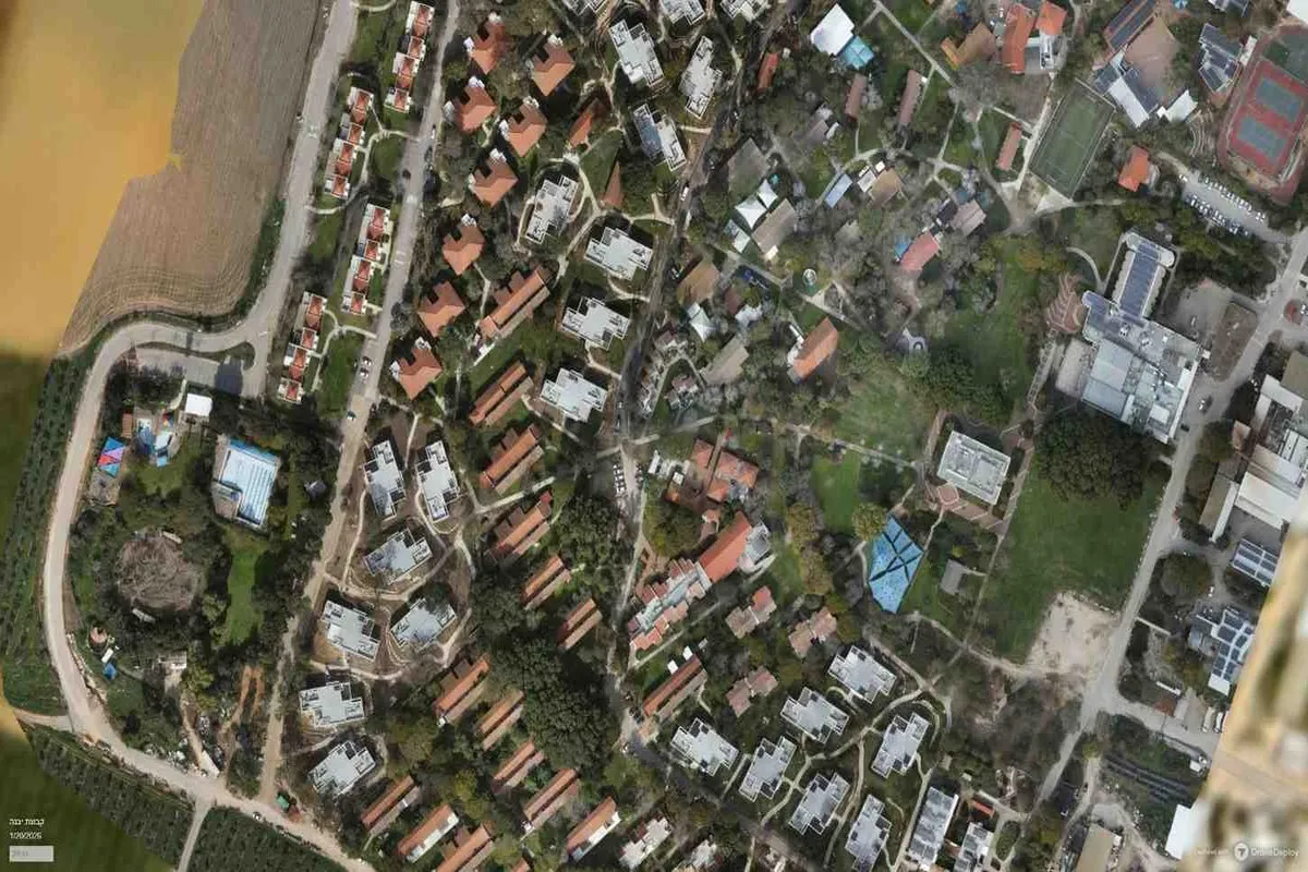
A survey-based image of the site, an ideal basis for layout design.
DWG, SKP, DXF, LAS, TIFF and any other format required for design.
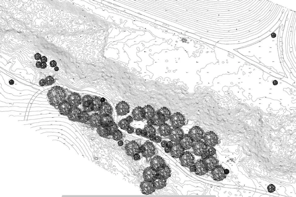
Dimensions, levels, slopes, obstructions, potential shading zones and more.
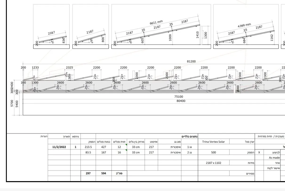
If you wish, we continue from the same survey through to complete design.
Professional drones, precise sensors and image analysis algorithms — results with among the lowest deviation on the market. No more “roughly”.
Arrival on site, a flight of minutes, processing, complete deliverable — without stopping site activity and without putting people on difficult roofs.
Aerial survey replaces manual measurement, eliminates human error and avoids repeat site visits.
Obstruction positions, exact distances, slopes, access areas and anchor points — designed around what you need as a planner.
We carry out drone surveys throughout Israel — the centre, the Sharon, the Shfela, Jerusalem, the north and the south, including remote sites and areas requiring advance coordination with the Civil Aviation Authority.
Reliable site data as a foundation for design, instead of manual measurement or outdated GIS data.
A survey that prevents surprises on installation day and reduces repeat site visits.
An accurate picture of the site before an investment decision.
Surveying roofs and areas before going out to tender.
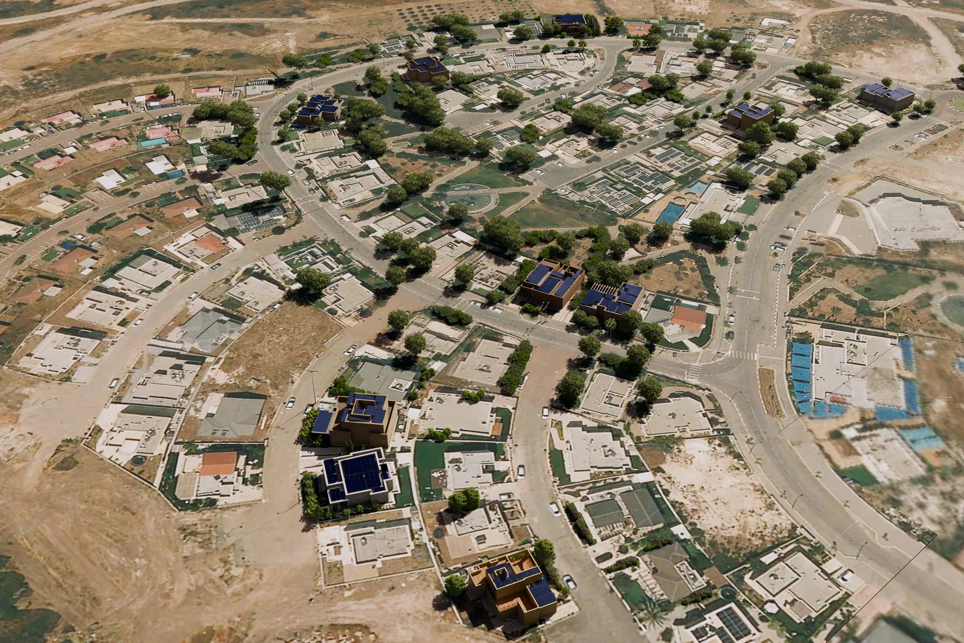
Photography, survey and design of 85 residential systems for a buyers' group, within two weeks. A project that shows the pace of work when survey, photography and design are handled by the same team.
Survey and redesign of a solar system with storage on canopies, as part of expanding the existing system.
A short call in which we understand the site, the scope of the project and your timeline — from there we know exactly what is required.
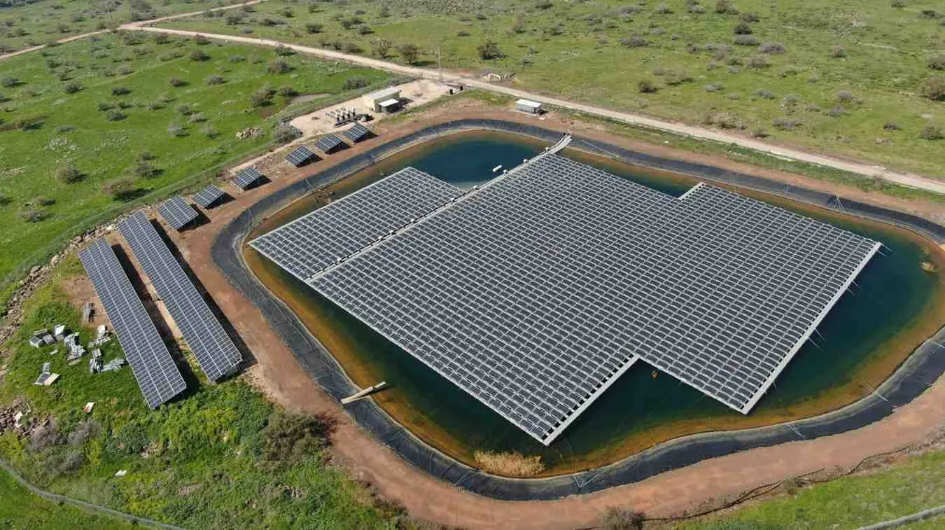
The roof, reservoir or land area to be scanned.
The number of rooftop elements, slopes, walls and shaded areas.
Areas requiring Civil Aviation Authority coordination need additional preparation time.
A 3D model alone versus a full package including orthophoto, point cloud and site report.
No two sites are the same, so every project starts with a short call to understand the site and the requirements. From there we know exactly what is needed and when it will reach you.
It depends on the site, but typically a survey accurate to a few centimetres — sufficient for the engineering requirements of solar system design.
No. The flight is quick and has no effect on ongoing operations. In most cases we do not need to enter the site at all.
Orthophoto, 3D model, point cloud, TIFF, DXF/DWG, SKP and more.
Yes. Our surveys cover highly complex sites at a high level of accuracy.
1–2 business days, usually one.
Our team is licensed and certified and operates under Civil Aviation Authority regulations. Restricted areas require advance coordination, and we handle that process.
Yes. That is exactly the advantage of a single provider — the same survey serves as the basis for full design, with no file handovers and no loss of information.
Yes. Our surveys cover very complex sites — commercial and industrial roofs, residential roofs, water reservoirs and reservoir walls, logistics complexes and open land — at a high level of accuracy.
The same team, the same site visit, the same point of contact — with no handovers between suppliers.